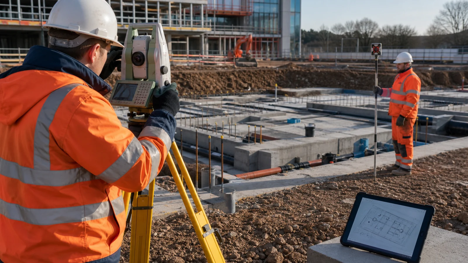
As-Built Surveys Explained: What to Record Before Work Is Covered
An as-built survey records what has actually been constructed, not simply what was shown on the design drawing. It provides measurable evidence of position, level, size and alignment before important work is hidden or handed over.
For developers, contractors and engineers, timely as-built information supports quality control, valuations, approvals, future maintenance and the quick resolution of discrepancies. The key word is timely: surveying after an element has been covered may be impossible or significantly more expensive.
What is an as-built survey?
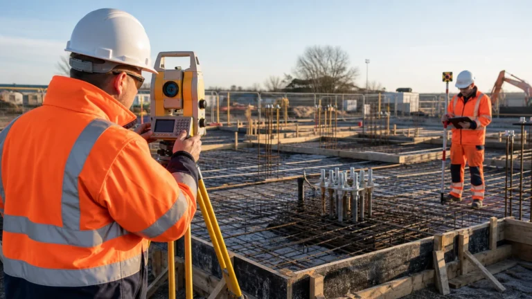
An as-built survey compares completed construction with the approved design or specified tolerances. Depending on the project, the output may be a marked-up drawing, coordinate schedule, level report, CAD file, point cloud, photographs or a deviation report.
The survey does not automatically certify design compliance. It records measurable conditions so the responsible designer, engineer or client can decide whether the work is acceptable.
What should be surveyed?
The scope should focus on elements that affect following trades, safety, capacity, legal records or future maintenance. Common examples include:
- foundation corners, pile positions and pile cut-off levels;
- holding-down bolts, base plates and column centres;
- finished floor levels and slab falls;
- kerb lines, road levels and drainage channels;
- manhole cover and invert levels, pipe sizes and flow directions;
- retaining walls, bridge components and structural interfaces;
- buried ducts, utilities, chambers and crossings;
- building footprints, boundaries and external works.
Survey before it disappears
The best time to measure a buried service is while it is exposed and before backfilling. Record changes in direction, connections, depths, crossings and identifiable service information. Photographs should include context and a clear reference, but coordinated survey points are far more useful than photographs alone.
Work near underground services must follow a safe system of work. HSE guidance identifies planning, locating and identifying services, and safe excavation as the three basic elements. Read HSG47: Avoiding danger from underground services for the applicable safety principles.
Agree tolerances before measurement
A deviation has meaning only when compared with an agreed requirement. Establish the design coordinates, levels and applicable tolerances before the survey. Avoid inventing acceptance limits after the results are known.
The measurement method must also be appropriate for the required accuracy. Control quality, instrument setup, target choice, sight length and environmental conditions all affect the result.
Use a consistent grid and datum
As-built data should use the same project grid and level datum as the design unless the deliverable clearly states otherwise. Ordnance Survey notes that GNSS positioning, OSGB36 National Grid and mean-sea-level heights require the appropriate transformations; OSTN15 and OSGM15 link these reference systems in Great Britain.
What makes a useful as-built report?
- Project, area and element surveyed
- Date and construction status
- Design drawing number and revision
- Grid, datum and control references
- Measured coordinates, levels or dimensions
- Design values and calculated deviations
- Applicable tolerances where supplied
- Clear status for missing or inaccessible items
- Annotated plan and supporting photographs
Common mistakes to avoid
- Surveying only after backfilling or concealment
- Mixing local and national coordinate systems
- Using an outdated design revision
- Reporting points without descriptions or units
- Ignoring control checks and instrument setup records
- Showing deviations without the reference design value
Build the survey into the programme
Add hold points for critical surveys to the inspection and test plan. Give the surveyor enough notice, keep the work accessible and provide the current design information. Rapid reporting allows corrections to be made before labour and materials move to the next activity.
Site-Survey BC Ltd provides as-built, verification and site-engineering surveys throughout Lincolnshire and nearby counties, with UK-wide support for larger projects. Contact us to discuss an as-built survey, or use our free engineering calculators for preliminary site checks.