
Land Survey Services in Lincolnshire

Land Survey Lincolnshire

Whether you’re purchasing a piece of land, initiating a new development, a construction site, determining the volume of a soil stockpile, or seeking to verify your property’s precise boundaries, a land survey is likely essential.

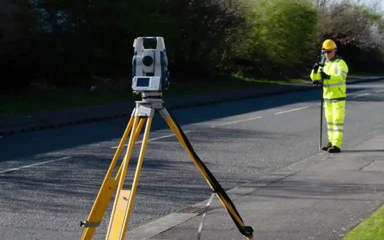
road site survey

Boundary Survey:

    • Description: This type of survey is used to determine the property lines and define the true boundaries of a piece of land. It is essential for property transactions, development, or disputes.

Topographic Survey:

    • Description: A topographic survey maps the land’s contours, elevations, and features, both natural (like rivers, trees, and hills) and man-made (like buildings, and roads). It provides a three-dimensional view of the land.

Construction Survey:

    • Description: Before any construction starts, this survey helps set out the exact positions for new infrastructure such as roads, buildings, and utilities, ensuring the construction aligns with the plans.

Cadastral Survey:

    • Description: Also known as a legal land survey, it’s used to define land ownership and boundaries. It’s often used for the creation of land titles.

Asbuilt Survey:

    • Description: After the construction phase, an Asbuilt Survey captures the final position and dimensions of the constructed elements. This is crucial for verifying if the project was built according to the design plans. It serves as a record of deviations and changes made during construction and is essential for future modifications or renovations..

Soil Stockpile Volume Determination:

    • Description: Particularly relevant for construction and excavation sites, this survey type calculates the volume of amassed soil or other materials. By using techniques like laser scanning, GPS-RTK Survey or aerial imagery, surveyors can determine how much material is present and inform decisions about transportation, usage, or storage.

Each type of land survey serves its unique purpose, providing crucial data for different aspects of land management, development, and planning.

As a site engineer, an integral aspect of my responsibilities is conducting a ‘Land Survey’. This isn’t merely charting out the edges of a piece of land. It’s a detailed endeavor where I meticulously identify the specific boundaries, measure the various elevations, and catalog other distinct features inherent to the terrain.


For example, if there’s an undulating hill, a unique waterway, or a particular depression on the site, I’ll capture all these details. Additionally, when it comes to soil stockpiles on the property, I undertake precise surveys to determine their volume. Whether we need to move, utilize, or store this material, having an accurate measure is essential for informed decision-making.


Through the Land Survey, I ensure we have a comprehensive understanding of the site, facilitating efficient and effective project planning and execution.

New Plot Land Survey

A land survey typically identifies and delineates the boundaries and corners of a property. In certain instances, it may also encompass the terrain’s topography and pinpoint any buildings located on the parcel. In the UK, the land survey process is usually divided into two stages: the actual survey and the creation of detailed survey drawings.

The cost of a land survey can vary based on several factors. If you approach local surveyors for a quote, the amount they provide will be influenced by aspects such as:

  • The plot’s size
  • The terrain’s complexity
  • Accessibility of the site
  • Depth of detail necessitated
  • Duration of on-site surveying
  • Time invested in drafting the survey illustrations
  • Use of specialized equipment like drones or laser scanners.

Upon completing a land survey, I ensure the survey drawings are produced and delivered within 48 hours, available digitally or in printed form as per your preference.

My Services Covering Area:

Lincolnshire:

  • Lincoln

  • Grimsby

  • Scunthorpe

  • Grantham

  • Boston

  • Spalding

Yorkshire:

  • Leeds

  • Sheffield

  • York

  • Bradford

  • Kingston upon Hull

  • Huddersfield

  • Middlesbrough

Nottinghamshire:

  • Nottingham

  • Mansfield

  • Beeston

  • Carlton

  • Sutton-In-Ashfield

  • West Bridgford

Leicestershire:

  • Leicester

  • Loughborough

  • Hinckley

  • Melton Mowbray

  • Coalville

  • Lutterworth

Derbyshire:

  • Derby

  • Chesterfield

  • Swadlincote

  • Ilkeston

  • Long Eaton

  • Buxton

Cambridgeshire:

  • Cambridge

  • Peterborough

  • Huntingdon

  • Ely

  • St. Neots

  • Wisbech

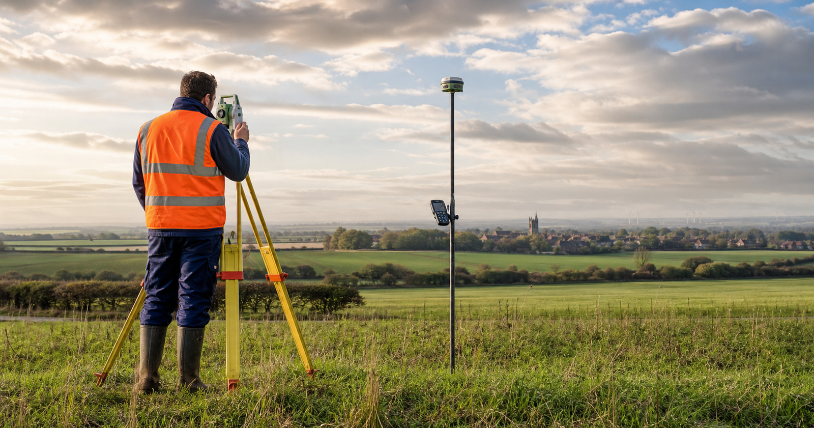
Land surveyor using a total station in the Lincolnshire countryside

Professional surveying across Lincolnshire

Land Survey Services in Lincolnshire

Accurate topographic, boundary, construction and volume surveys for landowners, developers, engineers and contractors—delivered with practical drawings and dependable site data.

Local Lincolnshire serviceResponsive support across the county
Survey-grade equipmentGNSS and robotic total station workflows
Practical deliverablesCAD, PDF, coordinates and reports

Clear information for better decisions

Understand your site before work begins

Site-Survey BC Ltd records the position, level and physical features of land so your project team can plan, design and build from reliable information. Each scope is agreed around the purpose of the survey, required accuracy, coordinate system and final outputs.

Topographic surveys

Detailed mapping of ground levels, buildings, boundaries, roads, drainage, vegetation and visible services.

Topographic survey details →

Boundary surveys

Measured evidence for the position of fences, walls, hedges and occupation features, presented clearly for review.

Boundary survey details →

Construction surveys

Site control, dimensional checks and setting-out support for buildings, roads, drainage and external works.

Construction survey details →

As-built surveys

Final positions and levels of completed works for verification, quality records and project handover.

As-built survey details →

Stockpile & earthwork volumes

Measured surfaces and calculated volumes to support material planning, valuations and site management.

Volume survey details →

CAD plans & survey data

Organised drawings, coordinates and digital outputs prepared for architects, engineers and contractors.

CAD drawing details →

Typical survey features

What can be recorded

  • Ground levels, contours and breaklines
  • Buildings, walls, fences and hedges
  • Roads, kerbs, paths and hardstanding
  • Drainage covers, channels and visible utilities
  • Trees and significant vegetation
  • Site boundaries and occupation features
  • Structures, slopes, watercourses and earthworks

Deliverables

Information ready for your team

  • 2D CAD plans in DWG or DXF
  • PDF survey drawings
  • CSV coordinate and level schedules
  • 3D points, breaklines and surface data where agreed
  • Volume calculations and comparison surfaces
  • Survey notes and photographic references where included
Boundary note: A measured survey records physical features and evidence on site. Legal boundary interpretation may require title information and advice from an appropriately qualified boundary specialist or solicitor.

Straightforward delivery

How the survey works

1

Define the brief

Review the site, purpose, features, accuracy and outputs required.

2

Survey the site

Capture agreed details using appropriate control and survey methods.

3

Process & check

Validate observations, calculate levels and build the survey drawing or model.

4

Issue deliverables

Provide clear files in the formats agreed for your project team.

Local coverage

Land surveying across Lincolnshire

Routine commissions are focused on Lincolnshire and neighbouring areas. Larger or specialist projects can be supported across the United Kingdom.

LincolnBostonGranthamSpaldingScunthorpeGrimsbySleafordStamfordSkegness

Frequently asked questions

Land survey FAQs

What information do you need for a quotation?

Please provide the site address or plan, approximate area, purpose of the survey, required features, preferred outputs and any programme constraints.

How accurate will the survey be?

Accuracy depends on the project purpose, site conditions, control and agreed methodology. Requirements are confirmed before the survey starts.

Can you work to an existing coordinate system?

Yes, where reliable project control or appropriate reference information is available. Local grid and datum options can also be agreed.

Can you survey farmland and development sites?

Yes. Surveys can cover rural land, residential plots, commercial sites, highways-related works and active construction projects.

Do you provide CAD drawings?

Yes. Typical deliverables include DWG, DXF, PDF and CSV, with 3D data or surfaces available where included in the scope.

Plan your survey

Need an accurate survey of your land?

Send the site location and a short description of what you need measured. We will confirm the scope, programme and deliverables.

Mon–Fri, 08:00–17:00Lincolnshire & neighbouring areasUK-wide for larger projects